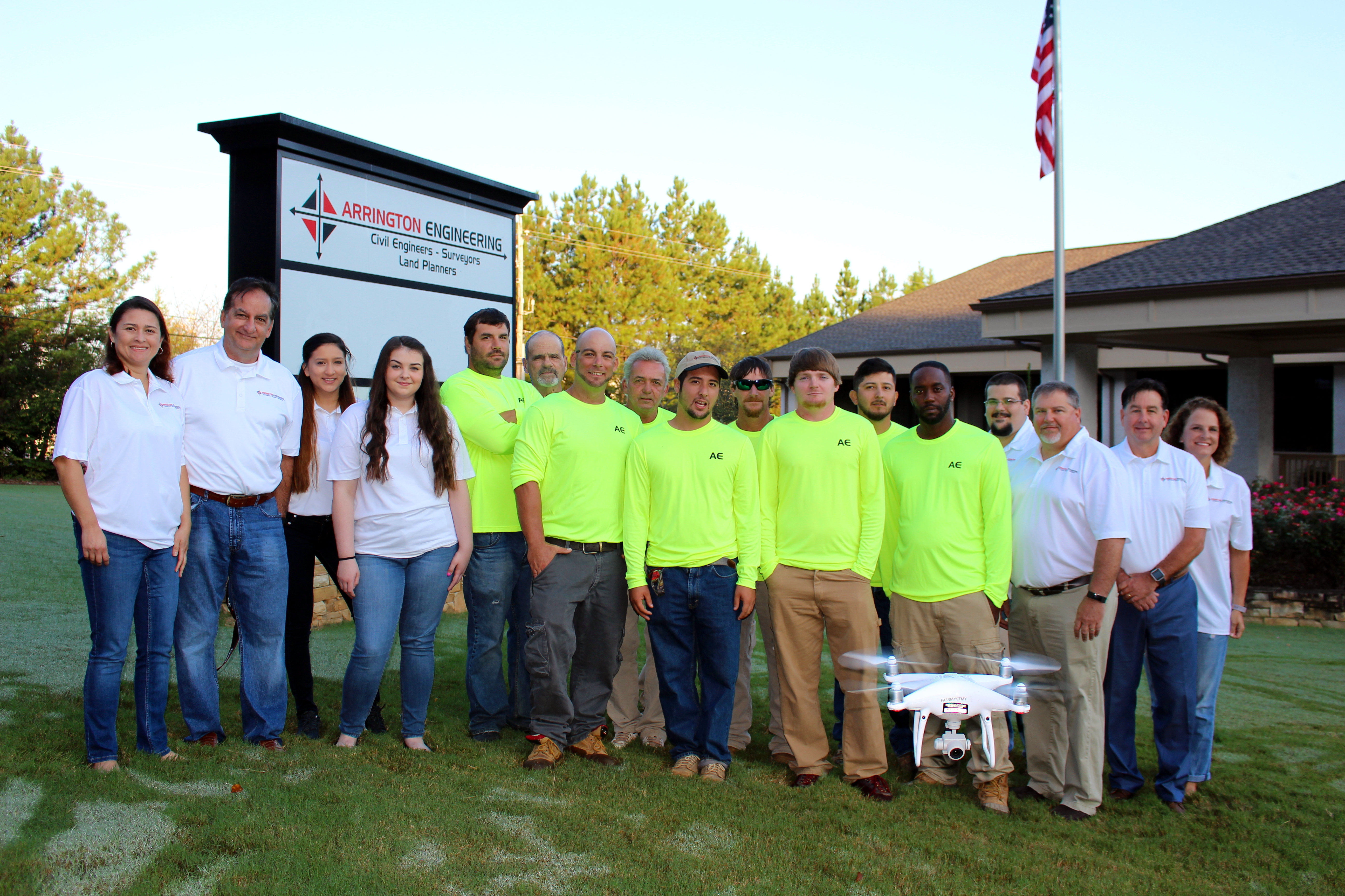
Land Surveying
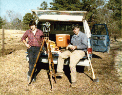
Arrington Engineering has provided custom land surveying services since 1985.
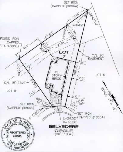
Boundary Surveys
We have completed Boundary Surveys in excess of 1000 acres, and routinely perform boundary surveys of several acres or less.
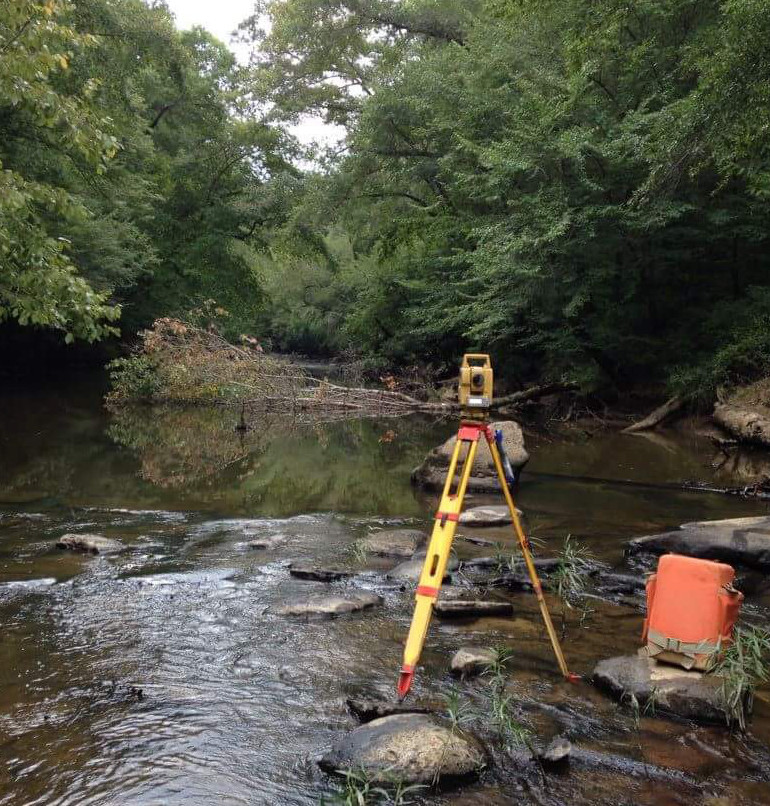
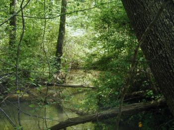
Topographic Surveys
Arrington Engineering prides itself on utilizing creative solutions to accurately and cost effectively collect and map the information for an accurate topographic survey
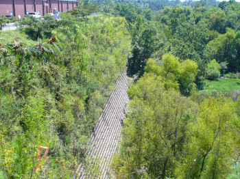
Drone Surveys
Arrington Engineering prides itself on utilizing cutting edge drone technologies for wildlife monitoring, asphalt surveys, and more.
Construction Surveys
Arrington Engineering and Land Surveying is proud of its relationship with some of the best general and building contractors in the area.
Land Surveying
Elevation Certificate

Before FEMA can issue a Letter of Map Amendment (LOMA) or a Letter of Map Revision to remove a property and/or structure from the SFHA, the applicant will need an Elevation Certificate for the property.
Arrington Engineering can quickly prepare an Elevation Certificate for your property located in Shelby County, AL including Alabaster, Birmingham, Calera, Chelsea, Columbiana, Harpersville, Helena, Hoover, Leeds, Montevallo, Pelham, Vestavia Hills, Vincent, Westover, Wilsonville or Wilton.
High Definition Laser Scanning

Arrington Engineering can utilize a High Definition Laser Scanner to provide extremely detailed accurate surveys of areas that can not be effectively, safely or accurately surveyed by any other methods. Examples of applications where Arrington Engineering would utilize Laser Scanning to meet our clients needs include: Bridge and Highway Surveys, Airport Surveys, Manufacturing, Processing, or Power Plant Surveys, Refinery Surveys, Pumping Station Surveys, Tunnel Surveys, Parking Deck Surveys, Historical Building Surveys, Mining Surveys, Quarry Surveys.
Accident Investigation Surveys

Arrington Engineering has provided Post Accident Investigation Surveys to clients throughout the United States. We are familiar with the degree of data typically required for Accident Investigations.
As-Built Surveys
Arrington Engineering routinely performs As-Built Surveys as required by governing agencies, developers, and contractors -- including as-built utility surveys, as-built foundation surveys, anchor bolt surveys, pilling surveys.
Wetland Surveys
Arrington Engineering has partnered with Spectrum Environmental to help serve our clients with wetland surveys. Spectrum can locate and delineate wetlands and waters of the United States. Spectrum is experienced in the permitting process and can help ensure that your project complies with all aspects of the Clean Water Act.
Cemetery Surveys

Arrington Engineering has extensive experience in cemetery design and layouts. Our layouts optimize available space while maintain adequate access. We can create a geo-referenced digital mapping program of your new or existing cemetery. This database linked map will serve as your primary cemetery management tool, allowing management to track any important attributes associated with each burial site.
Mortgage Surveys
Mortgage Survey is the term used to describe surveys required by the lender in order to provide financing.
The purpose of a mortgage survey is to show any improvements or encroachments on a piece of land.
Quarry Inventory Control Surveys

Quarries must maintain an inventory of the volumes of different sizes of quarried stone and crushed aggregate and sands stockpiled on site at a given date. This inventory has become increasingly important since the passing of the Sarbane- Oxley law in 2002 which established new accountability standards for corporate management.
Arrington Engineering can safely, efficiently, and accurately provide stockpile volumes without interfering with production. By utilizing a high definition laser scanner or a robotic instrument we can survey the stockpile without walking on the pile.
Geo-referenced Satellite Imagery
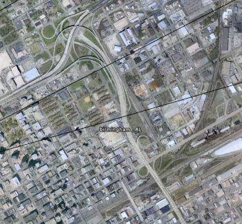
Geo-referenced Satellite Imagery or Aerial Photography is an excellent planning tool. Though Arrington Engineering does not perform aerial photography, we can geo-reference photographs to a given coordinate system. For example, photographs can be tied to State Plan Coordinates or to local Coordinate System.
Utility Surveys

Arrington Engineering can provide the surveying required to map new or existing utilities. Examples of utility surveys include surveying right of ways for power, oil, natural gas, sanitary sewer and water transmission lines. Arrington Engineering can also provide as-built utility surveys as required for design, and asset and facilities management. Additionally we are experienced in communication tower surveys.
Existing Condition Building Surveys and Floor Plans
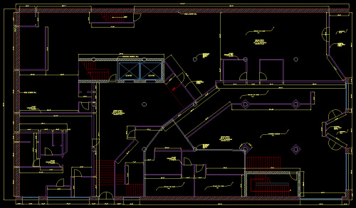
Arrington Engineering utilizes state of the art laser measuring devices, bluetooth technology and building surveying software to digitally collect the building information required to produce the specified deliverables. This is the most accurate and cost effective method currently available. All measurements are recorded in accordance with BOMA standards.Our plans include:
- Architectural Floor Plans
- Building Elevation Plans
- Mechanical Plans
- Electrical Plans
- ADA Compliance Plans
- Ceiling Plans